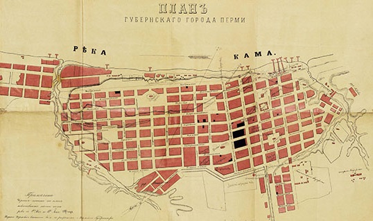
The students of the Theory and Practice of Applied History Master Programme (the Faculty of History and Politology, Perm State University) Kseniya Shchukina and Peter Neplyuev made the “Perm University in the 1910-1920s” project under the leadership and control of the Perm University History Museum and in cooperation with the Geographic Information System Centre of Perm State University.
It is very difficult for a modern student, a graduate or a professor to imagine Perm State University beyond the modern campus. However, the university was not always located in its usual place. The “Perm University in the 1910-1920s” is an interactive map which shows the town buildings where Perm State University was housed at preparatory and early stages of its establishment.
The creation of the map is dedicated to the day of the official “birth” of Perm State University –July 1 (14), 1917. As Perm State University was opened in October 1916 initially as a branch of St. Petersburg University and only in 1917 it became an autonomous institution.
Follow the link to study the map : http://museum-map.psu.ru

